

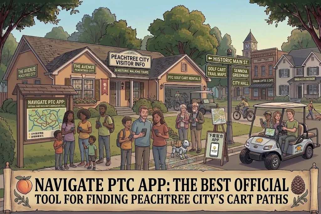
Navigate PTC App: The Best Official Tool for Finding Peachtree City's Cart Paths
If you're moving to Peachtree City, GA, there's a good chance someone has already told you about the golf carts.
But there's something they may not have explained:
The hardest part isn't owning the golf cart. It's learning where all the paths go.
Peachtree City has more than 100 miles of shared-use paths connecting neighborhoods, schools, shopping centers, parks, recreation facilities, lakes, medical offices, restaurants, and other destinations throughout the city.
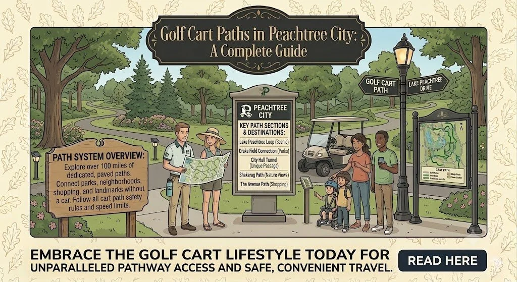
Golf Cart Paths in Peachtree City: A Complete Guide
When people think of Peachtree City, Georgia, one feature immediately comes to mind: the city's famous golf cart path system.
With more than 100 miles of interconnected multi-use paths, Peachtree City has created one of the most unique transportation networks in the United States. Residents regularly use golf carts instead of cars to run errands, take children to school, visit parks, enjoy dinner, and meet friends across town.
Whether you're planning a visit or considering relocating, understanding how the golf cart path system works is essential. Here's your complete guide to one of the biggest reasons people love living in Peachtree City.